


|
|
|
|
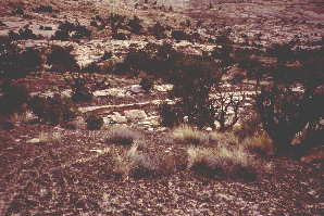
SRS-1
San Rafael Swell, Emery County, Utah, USA. Perched shelf below Wedge Overlook, same site as the study site for pelletized amendment studies. 39° 05.600’ N latitude, 110° 45.149’ W longitude. We worked an undisturbed area just west of the old study plots. Date of sampling: 9 May 1999. Dominant vascular plants at the site: Juniperus osteosperma, Pinus edulis, Artemisia tridentata, Coleogyne ramosissima, Ephedra viridis, grass species (not O. hymenoides). Mean lichen crust thickness: 31.2± 2.6 mm Cover summary: Type Cover % Cover Chlorophyll a (ng/g): 71.53
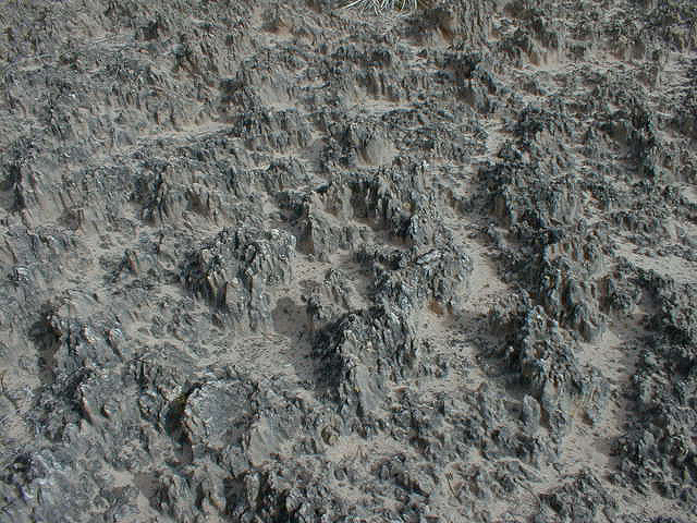
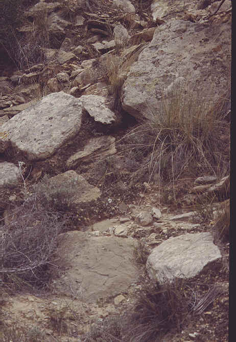
SRS-2
San Rafael Swell, Emery County, Utah, USA. Gypsiferous outcrop near the old gypsum mine, subject to cattle grazing, but minimal tracks evident in area we chose, which was almost devois of vascular plants. 39° 08.574’ N latitude, 110° 46.282’ W longitude. Date of sampling: 9 May 1999. Dominant vascular plants at the site: small white-flowered plant, an Atriplex species, and Ephedra torreyana at the margins. Mean lichen crust thickness: 20.2± 1.6 mm Cover summary: Type Cover % Cover Chlorophyll a (ng/g): 137.08
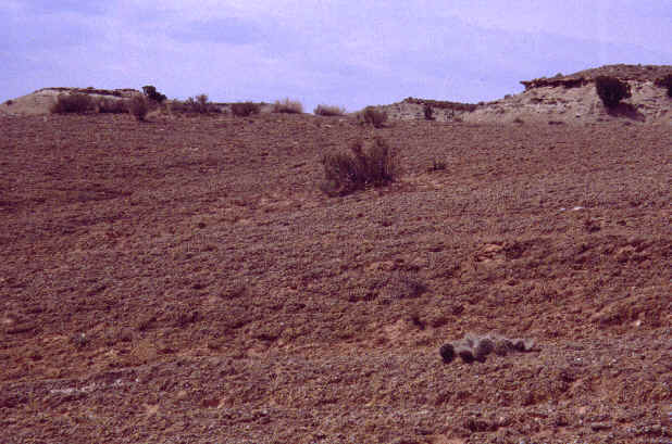
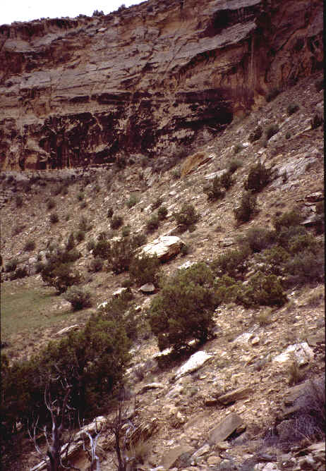
SRS-3
San Rafael Swell, Buckhorn Wash, Emery County, Utah, USA. Same site as 1992 trip site 1, lichen crust on hillside. 39° 09.245’ N latitude, 110° 43.459’ W longitude. Date of sampling: 9 May 1999. Dominant vascular plants at the site: Juniperus osteosperma, Pinus edulis, Artemisia tridentata, Ephedra viridis, Gutierrezia sarothrae, Selaginella, grass species (not O. hymenoides). Mean lichen crust thickness: 23.0± 1.5 mm Cover summary: Type Cover % Cover Chlorophyll a (ng/g): 140.53 |