Hurricane
Home Up Canyonlands Desert Experimental Range Station San Rafael Swell Unita Basin Zion National Park West Desert Natural Bridges Hurricane Arches National Park


hurricanemap.jpg (50171 bytes)

H1

H1003.jpg (65300 bytes)    H1001.jpg (65144 bytes)                           
                          View of site 1                                                                 Typical crust at site 1

 
Hurricane, Washington Co.,  Utah, USA.   37° 10.310’ N latitude, 113° 24.232’ W longitude, elevation 2983 ft. Gypsiferous soil crust on the south side of the road to Quail Lake State Park. Date of sampling: 16 May 1999.

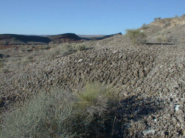
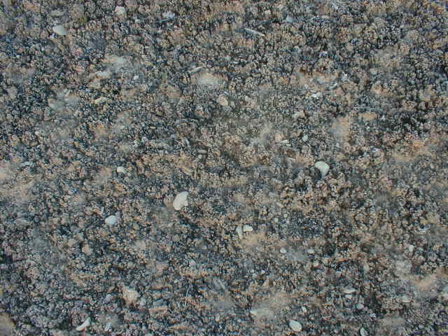
 Dominant vascular plants at the site: Chrysothamnus nauseosus, Unknown shrub, Ambrosia dumosa, Atriplex confertifolia, Ephedra torreyana, Bromus rubens.

Mean lichen crust thickness: 39.3± 5.4 mm

Cover summary:

          Type Cover              % Cover

Shrubs          0.0
Annuals      0.0                 
Perennial grasses    0.0
Perennial forbs    0.0
Algal crust    0.0
Bryophytes    8.4
Lichens    85.6
Bare Soil              2.8
Rock              2.0
Gravel      0.0
Litter    1.2
Cactus       0.0

Chlorophyll a (ng/g):  72.83
N fixation rate (mmol/n2/m2/hr):1764.11 
Soil texture class:  loam