


|
|
|
|
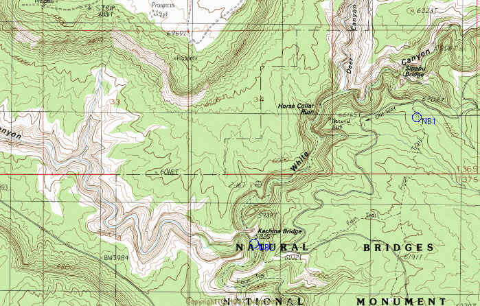
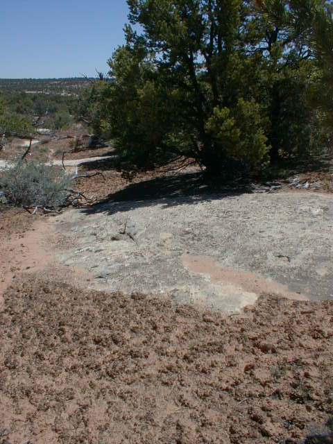
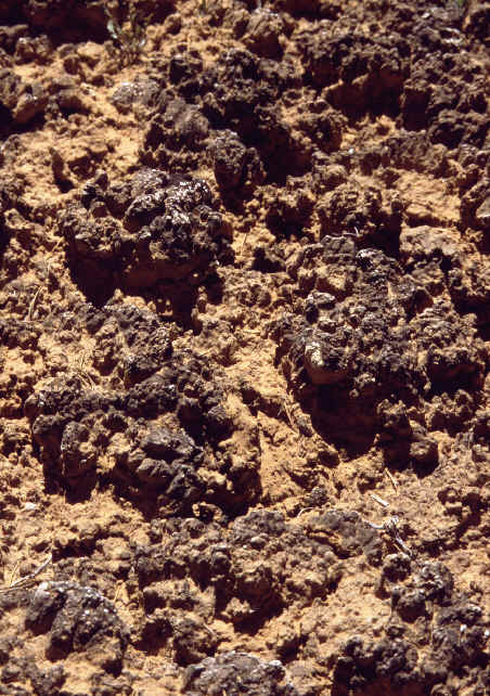
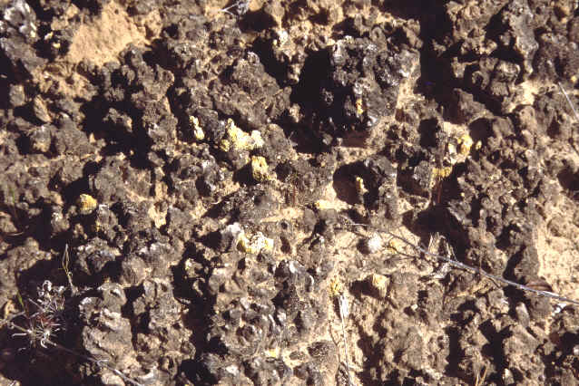
NB-1
Natural Bridges, Garfield County, Utah, USA. 37° 36.699’ N latitude, 110° 00.516’ W longitude, elevation 6057 ft. Relatively shallow reddish soils underlain by slickrock, Mesa Trail from Sipapu Bridge trailhead. We went up a small channel to the left to avoid footprints. Date of sampling: 14 May 1999. Dominant vascular plants at the site: Pinus edulis, Juniperus osteosperma, Gutierrezia sarothrae, Yucca harrimaniae, broad-leaf yucca Mean lichen crust thickness: 27.4 ± 6.8 mm Cover summary: Type Cover % Cover Chlorophyll a (ng/g): 285.81
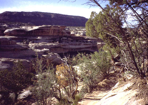
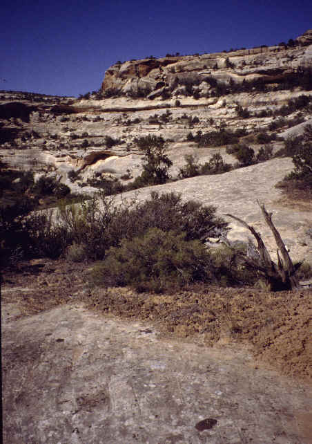
NB-2
Natural Bridges, Garfield County, Utah, USA. 37° 35.937’ N latitude, 110° 01.742’ W longitude, elevation 5952 ft. Relatively shallow reddish soils underlain by slickrock, Kachina Bridge Trail, first ledge up from the bottom of the stream bed. Date of sampling: 14 May 1999. Dominant vascular plants at the site: Pinus edulis, Juniperus osteosperma, Gutierrezia sarothrae, Ephedra viridis, Yucca angustissima. Mean lichen crust thickness: 34.0 ± 9.4 mm Cover summary: Type Cover % Cover Chlorophyll a (ng/g): 216.51 |