


|
|
|
|
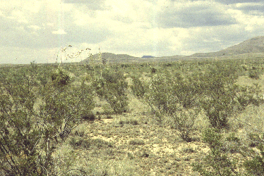
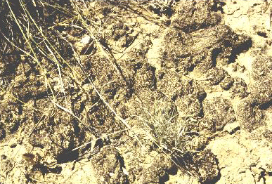
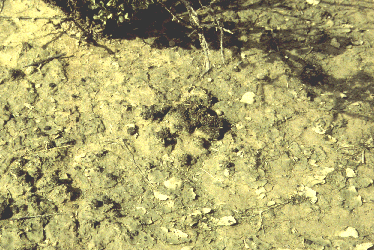
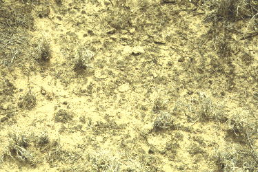
FB1 Fort Bliss, Otero Co., New Mexico, USA. 32� 29.482'N, 105� 47.840'W, elevation ca. 4795 ft. Top of Mesa in ACEC cattle exclosure. Has been an exclosure since the 1950's. Fairly extensive, continuous crust, but lichens are often quite patchy. Both Nostoc commune and Nostoc commune var. flagelliforme were evident in some patches. Date of sampling: 15 July 1998. Dominants vascular plants at the site: Larrea tridentata, Yucca elata, Muhlenbergii torreyi. Other plants: Opuntia violacea, Opuntia sp. (smaller pads), Opuntia imbricata? (cholla), Opuntia sp. (pencil cholla), Hillaria, scattered creosote, Nana acourtieri (desert holly), Flourensia cirnuum (tarbush), G. sarothrae, B. gracilis, Stipa neomexicana. Mean thickness of algal crust: 4.2 mm Type Cover % Cover Chlorophyll a (ng/g): 2592.65
FB2
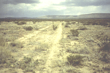
Fort Bliss, Otero County, New Mexico, USA. Two miles past railroad tracks on 506, past cow sign and road to the south (right). Large grazed area with considerable crust, but few lichens. 32� 31.249' N latitude, 105� 59.010' W longitude; elevation 4030 feet. Date of sampling: 21 July 1998. Dominants vascular plants at the site: Mesquite, Tarbush, Atriplex canescens, Scleropogon brevifolius. Only one annual seen. Mean thickness of algal crust: 4.4 mm Type Cover % Cover Chlorophyll a (ng/g): 6181.59
FB3
Fort Bliss, Otero County, New Mexico, USA. Tanked area, undisturbed. Dominants vascular plants at the site: Creosote, Tarbush Mean thickness of algal crust: 8.6 mm Type Cover % Cover Chlorophyll a (ng/g): 5169.92
|